

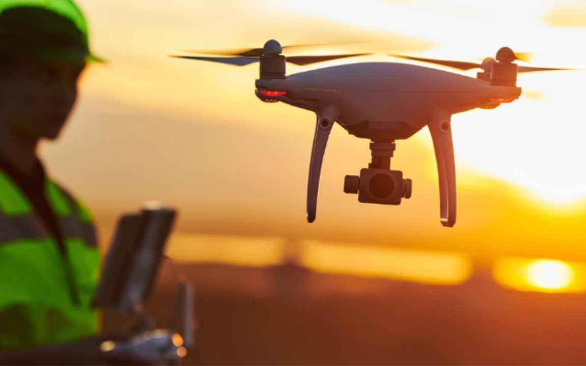
Drones are being used in various sectors now-a-days all over the world. Land surveying is one of the most focused sectors that uses drones in an effective manner. Drones are equipped with high resolution cameras, LiDAR sensors, GPS modules and other advanced technologies which makes this technology more liable for the surveying purpose. In traditional surveying process, it is usually more time and labor consuming where drone technology offers the effective solutions ensuring less time, less manpower input, accurate output and cost efficiency.
Drones capture high resolution images which can be processed and analyzed for preparing detailed orthophoto and 3D models which provides detailed overview of the surveyed area. Drones can cover large areas within a short time. A task that might take weeks using traditional methods can be completed in days or even hours with drones. The use of drones minimizes the need for extensive manpower and reduces associated labor costs. Drones can easily get access to the areas that are dangerous or difficult for human surveyors to reach, such as cliffs, mountains, or hazardous sites. Drone data can be seamlessly integrated with Geographic Information Systems (GIS) for enhanced analysis and visualization, providing valuable insights for planning and decision-making.
In recent years, drones have gained popularity in Bangladesh. The availability of affordable drones has made it more accessible to the surveyors. Besides, the Govt. of Bangladesh is promoting this technology. Now-a-days there are some advanced facilities for training and education regarding drone facilities in Bangladesh.
Applications of Drones in Bangladesh
Drones offer a numerous of benefits in land surveying, making them crucial tools for professionals in Bangladesh. Here are some key applications:
1. Topographic Mapping: Drones can quickly create detailed topographic maps, even in remote and inaccessible areas. This is particularly useful in Bangladesh, where dense forests and water bodies can make traditional surveying challenging.
2. Site Condition Monitoring: Drones can be used for monitoring purposes. To identify and assess the change in the past and present conditions of a site, drones can be utilized.
3. Construction and Infrastructure Development: Drones provide precise data that can be used to create 3D models and digital elevation models (DEMs), aiding in better project planning and management.
4. Agriculture: In the agricultural sector, drones can help survey large tracts of land to monitor crop health, assess irrigation systems, and plan land use more effectively.
5. Disaster Management: Bangladesh is prone to natural disasters such as floods and cyclones. Drones can be deployed quickly to survey affected areas, assess damage, and aid in relief and rehabilitation efforts by providing real-time data.
6. Environmental and Wildlife Surveys: In Bangladesh, there are many natural conservations and wildlife reserves. Drones are being used to monitor wildlife, track the ecosystems etc.
The use of drones is a breakthrough in land surveying for Bangladesh. Embracing this technology will not only streamline surveying processes but also contribute to the sustainable development of Bangladesh, addressing its unique geographical and infrastructural challenges. By overcoming current barriers and adopting a supportive technology, Bangladesh can fully leverage the benefits of drone technology, paving the way for a more efficient and modern approach to land surveying and beyond.
Share this page via